Geography of Belarus
Belarus is a landlocked, generally flat country occupies an area of 207,600 square kilometers, or slightly smaller than the United Kingdom. Its neighbors are Russia to the east and northeast, Latvia to the north, Lithuania to the northwest, Poland to the west, and Ukraine to the south. Its extension from north to south is 560 km, from west to east is 650 km.

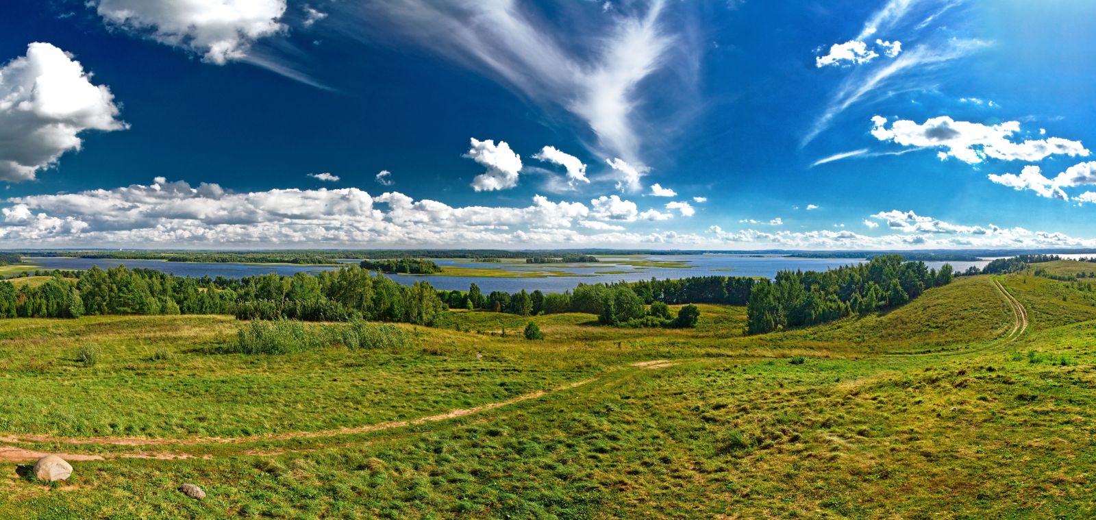
Northern Belarus has hilly landscape with many lakes and gently sloping ridges.The highest point in Belarus is the 346-meter Mount Dzyarzhynskaya.
Belarus's 3,000 streams and 4,000 lakes are major features of the landscape and are used for floating timber, shipping, and power generation.Major rivers are the west-flowing Western Dvina and Nyoman rivers, and the south-flowing Dniapro River, the Berezina, Sozh, and Prypyat rivers.Lake Narach, the country's largest lake, covers 79.6 square kilometers. Other big lakes are the Osveya (52.8 km2), the Chervonoye (43.8 km2), the Lukomlskoye (36.7 km2) and the Dryvyaty (36.1 km2)
Nearly one-third of the country is covered with pushchas.

The country has a temperate continental climate.Average temperature for July ranges from 17.5 °C in the north, 18.5–19 °C in the south. For January, it ranges from −4.5 °C in the southwest to −8 °C in the northeast.

The natural resources of Belarus include timber, peat deposits, small quantities of oil and natural gas, granite, dolomitic limestone, marl, chalk, sand, gravel, clay, potash, and halite (salt).


Комментарии
Отправить комментарий